Map of Walter's Ash Buckinghamshire
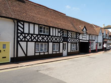
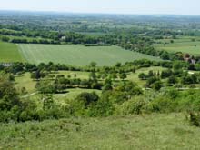
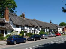
Map of Walter's Ash Buckinghamshire, a village to the north-west of High Wycombe.
View Larger Map |
Walter's Ash Map Buckinghamshire England
Walter's Ash Map Bucks: Find streets, roads and amenities in the Buckinghamshire village of Walter's Ash, using this handy interactive map.
A small village situated north-west of High Wycombe, Walter's Ash is within the Bradenham parish in the Chiltern Hills. The postcode for Walter's Ash is P17.
Also visible on this Walter's Ash map are Main Road, New Road, Courns Wood, Battings Wood, Allen Drive, Woodcock Avenue, Ash Close, Clappins Lane, Templewood, Falconer's Hill Wood, Greenwood, Kilnwood.
More Buckinghamshire Maps:
- Road Map Weston Turville Bucks
- Road Map Halton Bucks
- Road Map Lacey Green Bucks
- Road Map Wendover Bucks
- Road Map Stoke Mandeville Bucks
TOP - Walter's Ash Map - Walter's Ash Plumbers
Find Local Tradesmen: Painters - Electricians - Carpenters - Builders - Gardeners - Roofers - Tilers - Locksmiths - Metalworkers - Bricklayers - Cleaners - Plumbers
BUCKINGHAMSHIRE MAPS - HOME PAGE


