Map of Wendover
Map of Wendover Bucks, a small town located to the south-east of Aylesbury.
Wendover Map Buckinghamshire England
Map of Wendover Buckinghamshire: Find streets, roads and amenities in the Buckinghamshire town of Wendover, using this handy interactive map. Clearly shown is the mainline railway station, Wendover Bypass and Halton Camp (RAF).
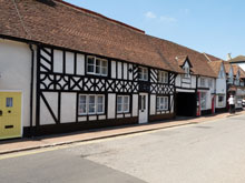
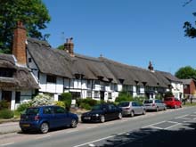
Lying at the foot of the Chiltern Hills, Wendover is a pretty little market town which has been left largely unspoilt by the progress of time. The town has a population of 7,000 and holds its small weekly market on Thursdays with about 30 stalls. The postcode for Wendover is HP22.
Use navigation buttons on this Wendover map to get a closer view, or move around to see other areas.
More Buckinghamshire Maps:
- Road Map Great Kimble Bucks
- Road Map Aston Abbotts Bucks
- Road Map Cublington Bucks
- Road Map Amersham Bucks
- Road Map Monks Risborough Bucks
TOP - Wendover Map - Wendover Plumbers
Find Local Tradesmen: Painters - Electricians - Carpenters - Builders - Gardeners - Roofers - Tilers - Locksmiths - Metalworkers - Bricklayers - Cleaners - Plumbers
BUCKINGHAMSHIRE MAPS - HOME PAGE


