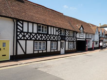
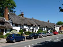
Map of Halton Buckinghamshire
Street map of Halton Buckinghamshire, a village to the north of Wendover.
View Larger Map |
Halton Map Buckinghamshire England
Halton Map Bucks: Find streets, roads and amenities in the Buckinghamshire village of Halton, using this handy interactive map.
Halton is a small village close to the town of Wendover, it has a population of just under 1,000, and is well known as the location of the RAF base RAF Halton. The Grand Union Canal passes by the village, though the arm is now disused. Nearby is Weston Turville Reservoir (often called Halton Reservoir). The postcode for Halton is HP22.
On this Halton map you can see the Grand Union Canal, Rosemead Covert, Marl Copse, Rowborough Copse, Hill Copse, Chestnut Avenue, Moor Park, Halton Lane, Clayfield Road, The Orchard, Swann Road.
More Buckinghamshire Maps:
- Road Map Bierton Bucks
- Road Map Little Kimble Bucks
- Road Map Aylesbury Bucks
- Road Map Aston Abbotts Bucks
- Road Map Aston Clinton Bucks
TOP - Halton Map - Halton Plumbers
Find Local Tradesmen: Painters - Electricians - Carpenters - Builders - Gardeners - Roofers - Tilers - Locksmiths - Metalworkers - Bricklayers - Cleaners - Plumbers
BUCKINGHAMSHIRE MAPS - HOME PAGE


