Map of Weston Turville
Weston Turville map, find your way around the Buckinghamshire village.
Weston Turville Map Buckinghamshire England
Map of Weston Turville: Find streets, roads and amenities in the Buckinghamshire village of Weston Turville, using this handy interactive map. Clearly shown is the St Mary the Virgin Church.
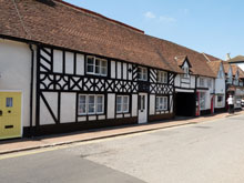
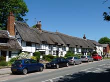
A pretty little village of three thousand inhabitants, Weston Turville is located to the south-east of the county town of Aylesbury, it is on the B4544 between Aston Clinton and Stoke Mandeville, also close by is the town of Wendover and the Chiltern Hills. The postcode for Weston Turville is HP22.
Use navigation buttons on this Weston Turville map to get a closer view, or move around to see other areas.
Maps of nearby areas:
- Road Map Halton Camp Bucks
- Road Map Ellesborough Bucks
- Road Map Aston Clinton Bucks
- Road Map Stone Bucks
- Road Map Princes Risborough Bucks
TOP - Weston Turville Map - Weston Turville Plumbers
Find Local Tradesmen: Painters - Electricians - Carpenters - Builders - Gardeners - Roofers - Tilers - Locksmiths - Metalworkers - Bricklayers - Cleaners - Plumbers
BUCKINGHAMSHIRE MAPS - HOME PAGE


