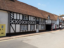
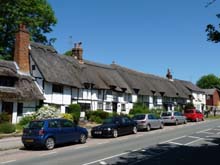
Map of Princes Risborough Buckinghamshire
Map of Princes Risborough Buckinghamshire, a town to the south of Aylesbury.
View Larger Map |
Princes Risborough Map Buckinghamshire England
Princes Risborough Map Bucks: Find streets, roads and amenities in the Buckinghamshire village of Princes Risborough, using this handy interactive map.
A town located between Aylesbury and High Wycombe in Buckinghamshire, Princes Risborough has a population of 7,978 and can be accessed from the A4010 (Aylesbury Road/Wycombe Road) and also by train (Aylesbury to High Wycombe line). The postcode for Princes Risborough is HP27.
Also visible on this Princes Risborough map are Bell Street, New Road, Aylesbury Road, Wycombe Road, Wellington Avenue, Manor Park Avenue, Jasmine Crescent, Upper Icknield Way etc, zoom out for Princes Risborough railway station.
More Buckinghamshire Maps:
- Road Map Bierton Bucks
- Road Map Halton Camp Bucks
- Road Map Saunderton Bucks
- Road Map Stoke Mandeville Bucks
- Road Map Wendover Bucks
TOP - Princes Risborough Map - Princes Risborough Plumbers
Find Local Tradesmen: Painters - Electricians - Carpenters - Builders - Gardeners - Roofers - Tilers - Locksmiths - Metalworkers - Bricklayers - Cleaners - Plumbers
BUCKINGHAMSHIRE MAPS - HOME PAGE


